Daejeon's Jung-gu district has developed an urban spatial map that consolidates scattered public project information on a single screen.
The district has launched full operation of the urban spatial map to give residents an at-a-glance view of all ongoing public projects in the area. The platform integrates and visualizes project data that had previously been dispersed across departments—such as urban redevelopment and infrastructure works—on a single map, enabling users to check project status by location intuitively.
The district's Urban Planning Division and the Policy Development Office's big-data team collaborated on the map. It includes information on 102 projects across eight departments: urban redevelopment, public infrastructure such as roads · sewage, green and environmental projects including park construction, repairs and renovations of public buildings and senior centers, and welfare · cultural programs.
For each project the map provides key details—location, area, current stage, and project timeline—so residents can more easily follow progress and administrative offices can reduce repetitive inquiries.
To access the urban spatial map, search for "Daejeon Safety Jung-gu platform" and select "Urban Planning Project Status" under the Convenience Facilities menu. The platform is optimized for mobile devices, allowing users to consult it from anywhere.
The district plans phased enhancements, including regular data updates and expanded displayed information.
A district official said, "The urban spatial map makes public project information more accessible and transparent. We will continue to expand data-driven administrative services that deliver tangible benefits to residents."
Discover Daejeon's New Urban Space Map: A Game-Changer for Public Project Transparency
Lee Jun-seop. | 2026.04.21
Recommended Posts

Samsung Biologics Union Strikes: What This Means for the Future of Biopharma in Asia
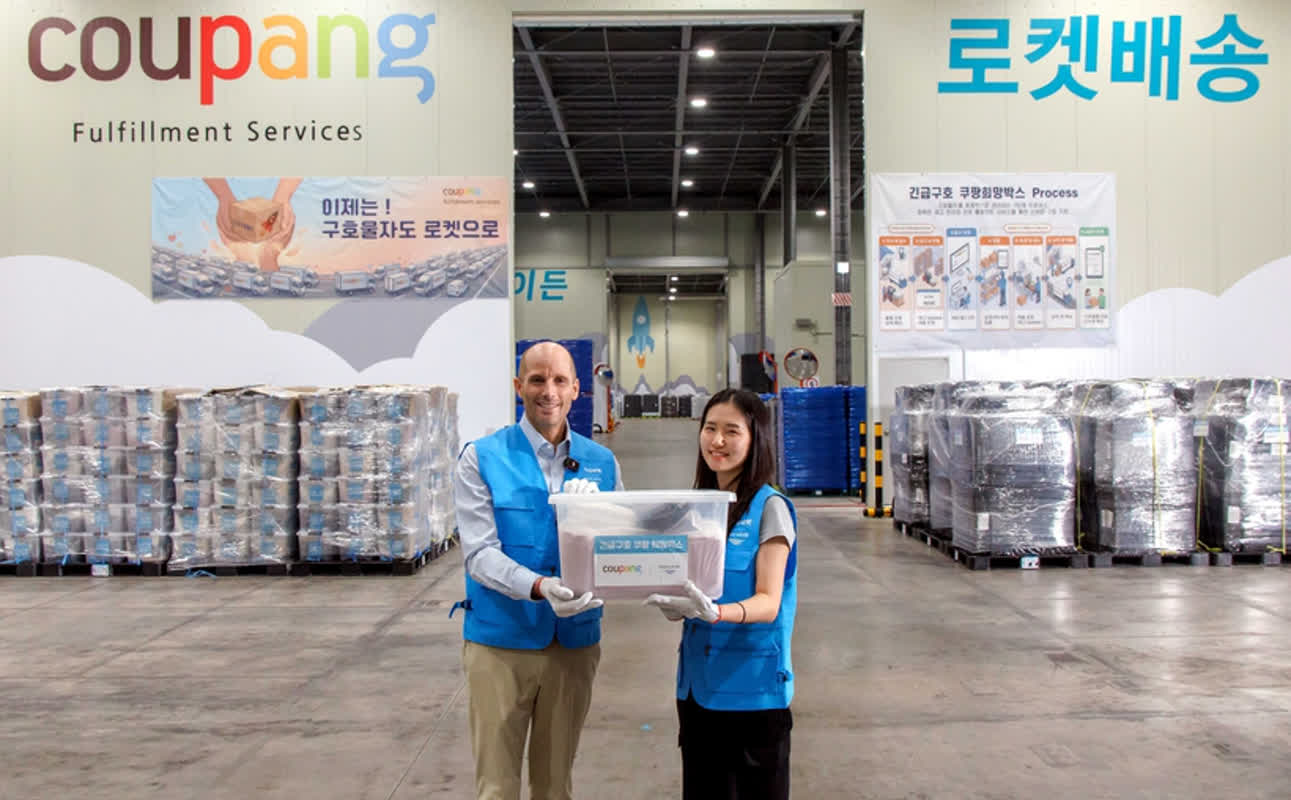
Coupang's Emergency Relief Boxes: How Rocket Delivery Transforms Disaster Response

How Will Kang Byeong-deok Transform Hanam into 'Heaven for Children' with New Childcare Policies?

Explore the Excitement: No Won's Magic Land Adventure Park Celebrates Children's Day 2026!

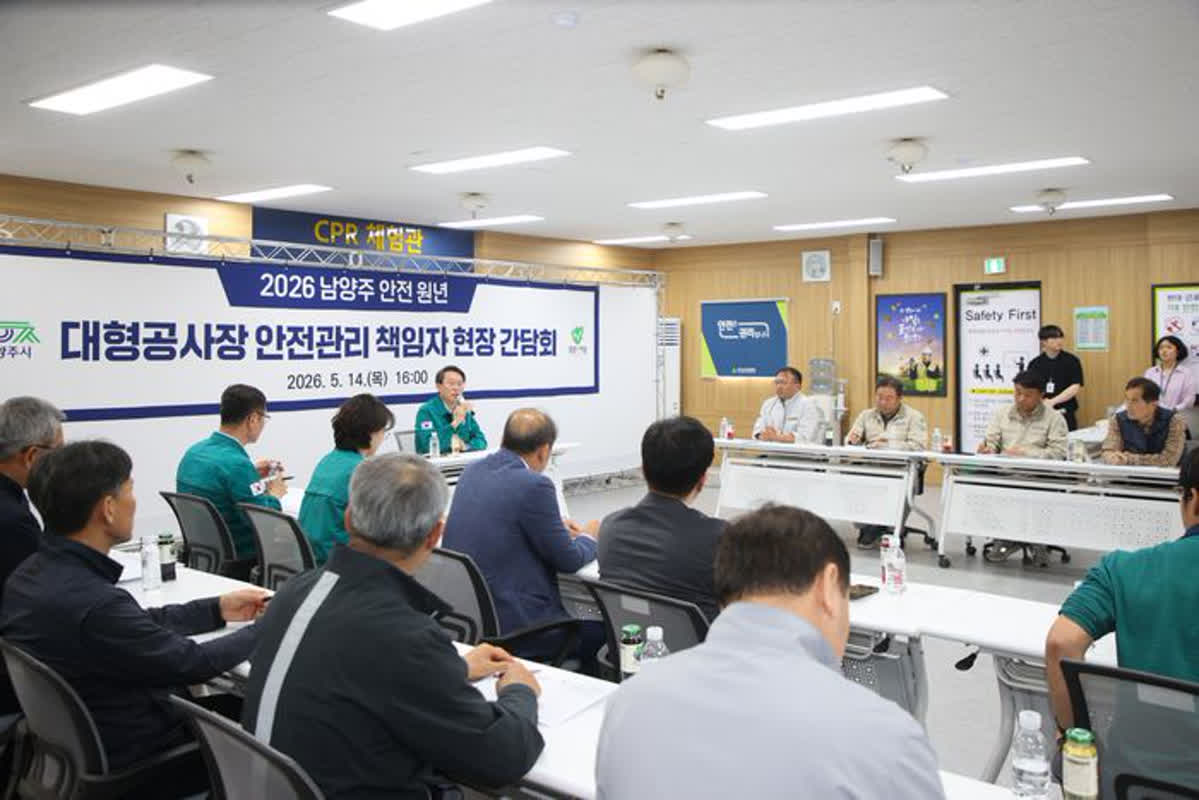
How AI is Revolutionizing Construction Safety: A Must-Read Guide for 2026

Is Revealing Wedding Gift Amounts in Company Chats Normal? Here’s What You Need to Know!
Latest Popular Posts
Real-time TOP